Languages:
This site is created using Wikimapia data. Wikimapia is an open-content collaborative map project contributed by volunteers around the world. It contains information about 32600965 places and counting.
Learn more about Wikimapia and cityguides.
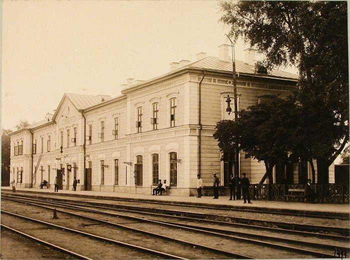
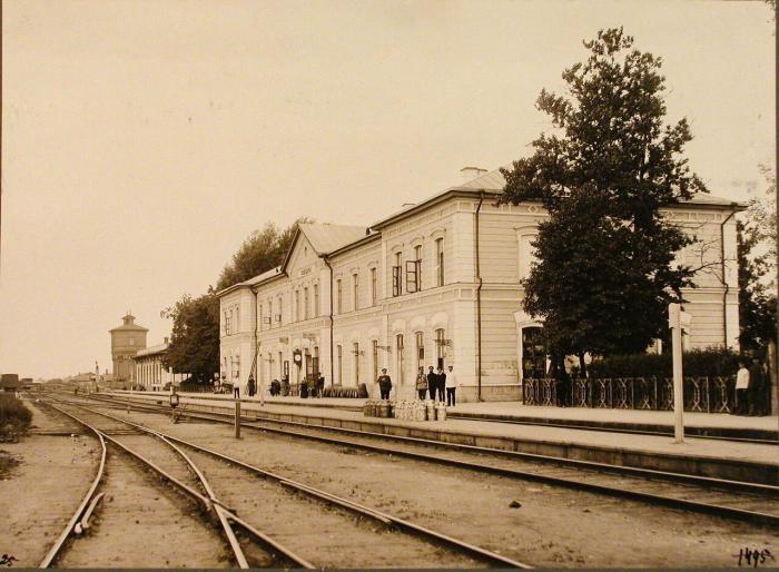
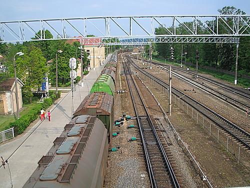
Kaišiadorys
City in central Lithuania, center of dstrict, rural eldership, has an urban eldership status.
Wikipedia article: http://en.wikipedia.org/wiki/Kaišiadorys
Kaišiadorys on the map.


Recent city comments: